Sell Mineral Rights in Oscoda County, MI
Oscoda County, MI mineral rights owner near Mio? Antrim Shale ground on the eastern core, honest pricing off real production. Get a straight evaluation.
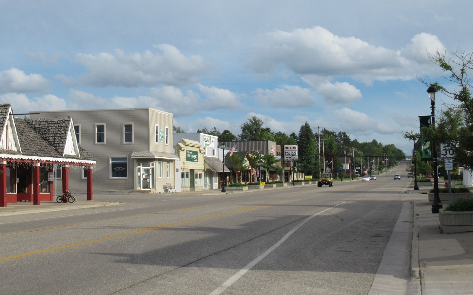
Mio is the smallest county seat you'll deal with on this end of the state, and the mineral records for a lot of eastern Antrim-play ground run right through its courthouse.
Mio, county seat of Oscoda County, sits along the Au Sable River on the eastern edge of the Antrim Shale trend, an area with real oil and gas production history but generally lighter well density than the tighter core counties like Otsego or Antrim. Land around Mio saw leasing and, in a number of sections, drilling during the boom years of the late 1980s and 1990s.
Because Oscoda County sits toward the eastern side of the trend, activity here is a mix of genuine core-adjacent production and acreage that was only ever leased, never drilled. If your family held land near Mio through the boom years, we check whether your specific section shows recorded production before saying anything about your interest, since the two situations are worth very different amounts.
Where wells were drilled, they behave like the rest of the Antrim play, long and flat, meaning decades of small, steady volumes rather than a dramatic curve.
A lot of the private land around Mio is tied to old timber and homestead-era patents, subdivided and passed down through families for generations, with mineral rights that frequently split off from the surface somewhere in that process. The Oscoda County register of deeds in Mio holds the recorded chain of title, and it's often the first stop for an owner trying to figure out exactly what they hold.
A Michigan location page should lead back to a real tract record. The working file identifies the county, township, range, section, legal description, acreage, mineral reservation, estate type, ownership fraction, and the deed, probate file, or trust instrument that supports the present ownership claim.
Antrim, Niagaran, Dundee, Trenton-Black River, and other Michigan production evidence varies by county and formation. Operator names, well records, unit boundaries, statement months, paid decimals, downtime, and recent volumes should be checked for the documented interest instead of assumed from a nearby place name.
The owner copy should retain the source deed, legal description, ownership reconstruction, statement evidence, written offer assumptions, retained-rights language, settlement record, and recording reference. That sequence lets a county review support a transaction without pretending every parcel in the area has the same production or value.
Each answer points back to a Michigan legal description, owner fraction, paid decimal, statement month, well record, or written term that can be checked.