Sell Mineral Rights in Alpena County, MI
Alpena County, MI mineral rights owner? Limestone and Traverse Group history, split-estate ownership, honest pricing. Get a real evaluation, no games.
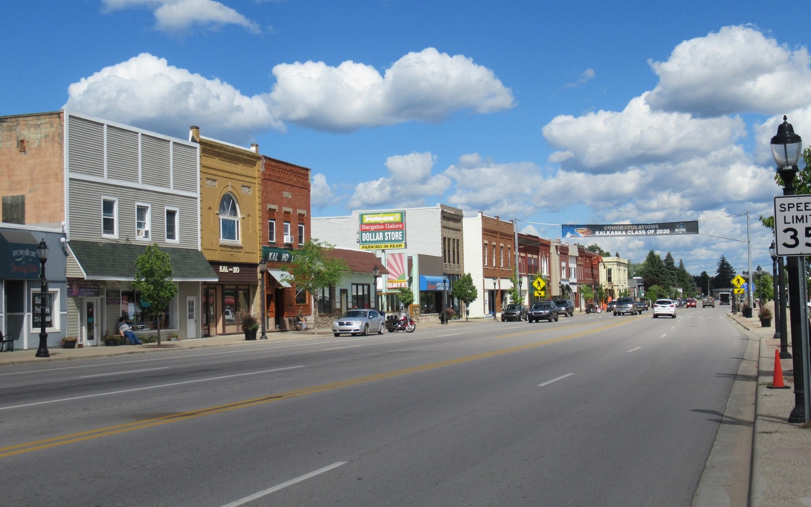
Kalkaska is the county seat, and it's also dead center of some of the heaviest Antrim Shale well density anywhere in the trend, which means the odds your family's land got drilled during the boom are genuinely good.
The village of Kalkaska sits in Kalkaska County, part of the historic core of the Antrim Shale trend, and the sections around town saw dense drilling during the Section 29 tax-credit boom of the late 1980s and 1990s. If your family owned land in or near Kalkaska during that period, there's a strong chance a well was drilled nearby and a lease is still technically active today, held by production decades later.
Kalkaska sits in one of the more heavily drilled parts of the Antrim core, which is good for owners in one specific way, there's likely real, documented production history behind your interest rather than an unclear leased-but-never-drilled situation. It's not necessarily good news on value, since these wells are now decades old and well into their mature decline.
We check current production for your specific section before quoting anything, since even in a dense area like this, individual well performance varies.
As the county seat, Kalkaska is home to the Kalkaska County register of deeds, where the recorded chain of title, deeds, probate records, and leases, for mineral interests across the county is kept. If you're not sure exactly what you own or which well your interest ties to, that office is the starting point, along with any division order you may have from an operator.
Send your deed or probate document, any royalty statements or division orders you've received, and the legal description if you have it. Because well density here is high, we're often able to identify your specific well quickly once we have the section, township, and range.
If multiple family members share the interest, note how it's currently divided if you know. We'll check current production before saying anything about value.
A Michigan location page should lead back to a real tract record. The working file identifies the county, township, range, section, legal description, acreage, mineral reservation, estate type, ownership fraction, and the deed, probate file, or trust instrument that supports the present ownership claim.
Antrim, Niagaran, Dundee, Trenton-Black River, and other Michigan production evidence varies by county and formation. Operator names, well records, unit boundaries, statement months, paid decimals, downtime, and recent volumes should be checked for the documented interest instead of assumed from a nearby place name.
The owner copy should retain the source deed, legal description, ownership reconstruction, statement evidence, written offer assumptions, retained-rights language, settlement record, and recording reference. That sequence lets a county review support a transaction without pretending every parcel in the area has the same production or value.
Each answer points back to a Michigan legal description, owner fraction, paid decimal, statement month, well record, or written term that can be checked.